Profil
Ramka "Profil" zawiera tabelę z listą wprowadzonych warstw. Po zdefinowaniu poszczególnych warstw można edytować ich miąższość za pomocą aktywnych wymiarów.
Dodawanie lub edycję warstw wykonuje się w oknie dialogowym "Nowa warstwa". Definiowana jest rzędna z warstwy mierzona od górnego punktu konstrukcji (oś-z) lub miąższość warstwy (t).
W ramce tej istnieje także możliwość zdefiniowania opcjonalnej informacji o lokalizacji konstrukcji:
- rzędna terenu - jeśli zostanie zdefiniowana rzędna terenu - w tabeli wyświetlana jest dodatkowa kolumna rzędnych poszczególnych warstw
- współrzędne GPS - jeśli zostaną zdefiniowane współrzędne, istnieje możliwość pokazania lokalizacji konstrukcji na Google Maps korzystając z przycisku "Pokaż na mapie".
Program umożliwia obniżenie lub podniesienie górnego punktu konstrukcji w oknie dialogowym "Zmiana rzędnej terenu", a zdefiniowane warstwy będą wówczas przesunięte, jednocześnie zachowując swoją miąższość.
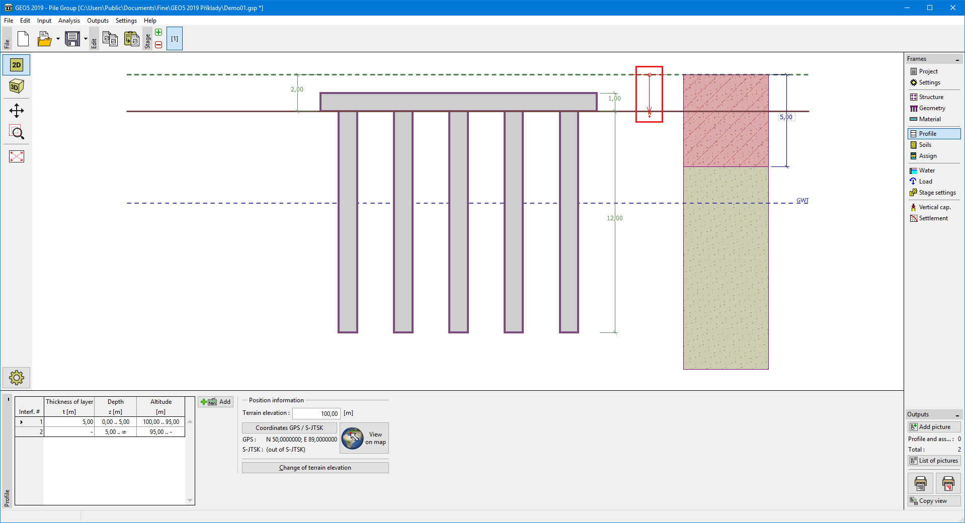 Ramka "Profil"